Map of Reykjavik
Updated · BootsnAll
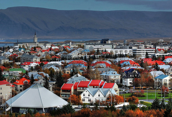
Reykjavik is a compact city. Most of the shops, restaurants, bars and sights are packed into the city center, postcode 101, and you can walk nearly everywhere you'll want to go. The three landmarks I use to get my bearings are Tjörnin (the pond) at the west end of downtown, Hallgrímskirkja up the hill to the southeast, and the harbor to the north. If you can see the church tower, you're never really lost.
The map below plots the places we write about on this site: museums, pools, shops, cafes, restaurants, places to stay and the bus terminal. Click a dot for a short note and a link to our page about it. Zoom out to see the places a bus ride away, like the zoo, Árbær and Sky Lagoon.
Map data © OpenStreetMap contributors. Locations checked against OpenStreetMap and the places' own websites in September 2026.
Finding your way around
Downtown is easy on foot. From Hallgrímskirkja, Skólavörðustígur runs straight down the hill toward the harbor, and Laugavegur, the main shopping street, runs west into Bankastræti and Austurstræti. The BSÍ bus terminal, where the Flybus from Keflavík stops, is south of the pond and about a 15-minute walk from downtown.
Some things are further out. Laugardalur, with the biggest pool, the zoo and the campsite, is about 2 km east of the center. Perlan and the Nauthólsvík beach are south, past the domestic airport. For these, take a Strætó city bus (690 ISK a ride as of 2026) or use the Reykjavík City Card, which covers the buses. More in getting around in Reykjavik.
Planning a trip beyond the city? See the map of Iceland, and start with our Reykjavik guide, attractions in Reykjavik and accommodation in Reykjavik.